MULTISPECTRAL CROP SCOUTING
DJI Mavic 3 Multispectral
See field variability.Know where to look next.
Capture RGB and multispectral field imagery to help focus ground scouting. SpeedyDrone helps configure the aircraft, data workflow and training around your operation.
Standalone scouting. Optional Agras workflow integration.
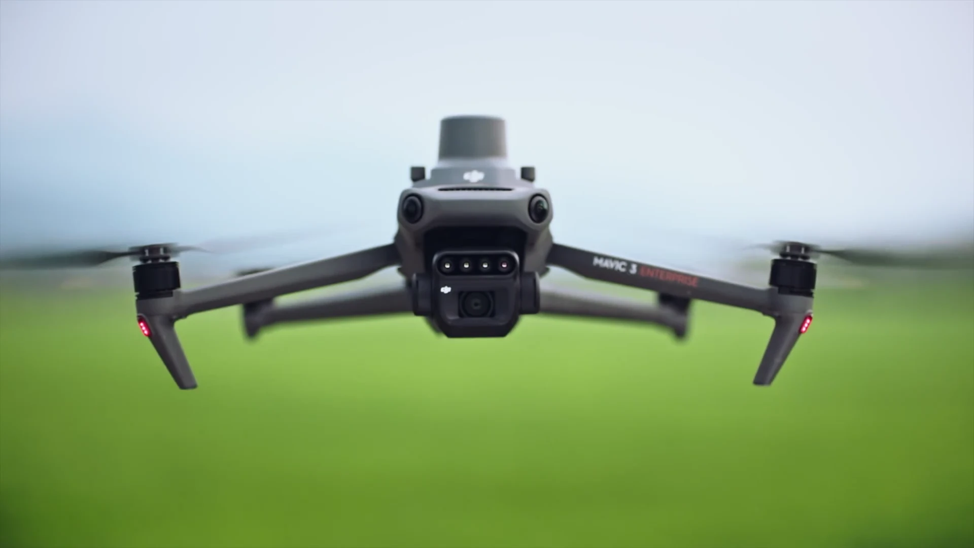
- 20 MP RGB
- 4 × 5 MP Multispectral
- RTK Positioning
- Sunlight Sensor
One field. Different ways to see it.
Start with the whole field. Look for spatial differences, then choose where to take a closer look on the ground.
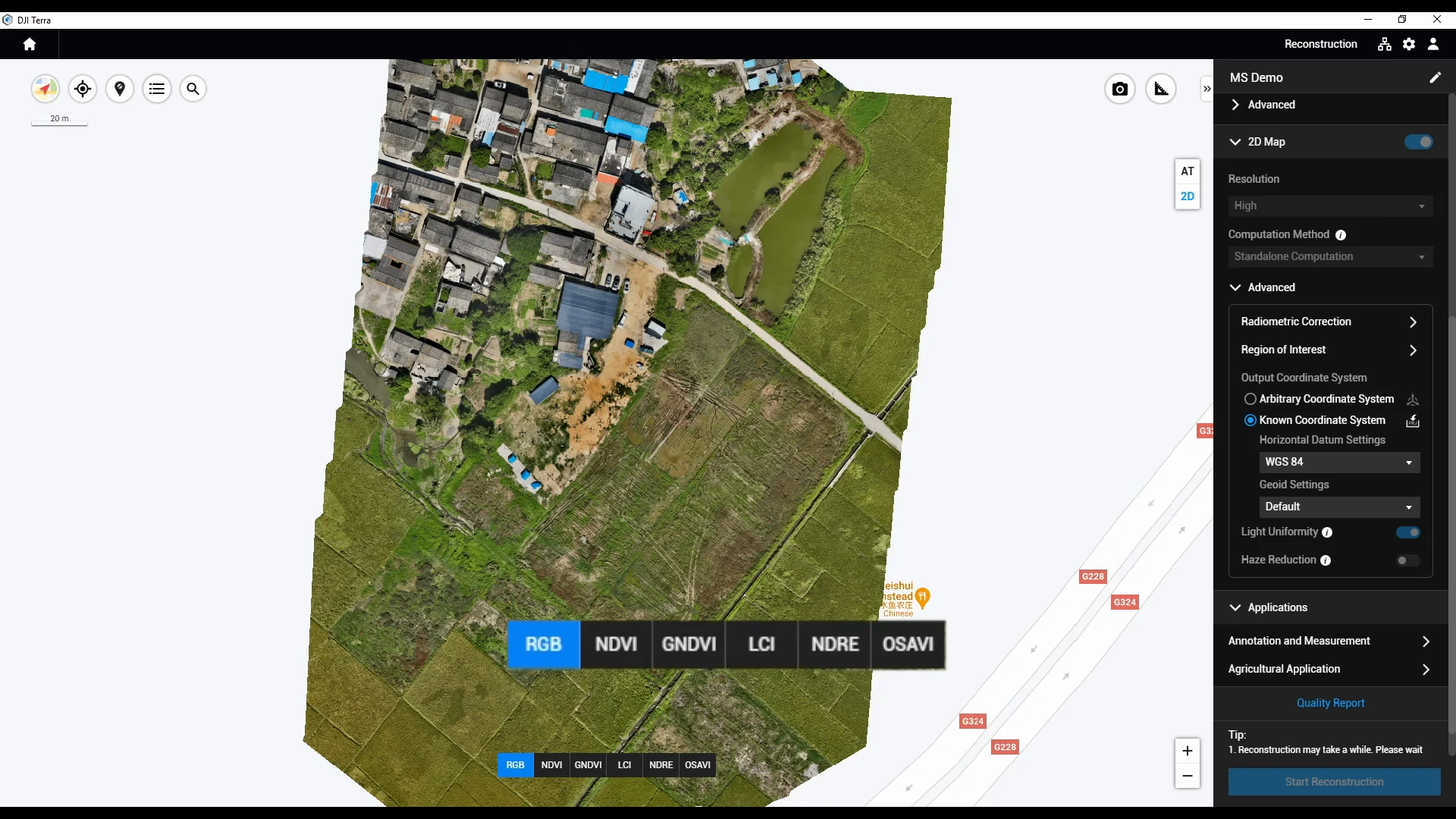
RGB
Put observations in context.
Visible imagery shows field layout, crop cover and spatial features. Use it to orient a field visit and understand where an index pattern sits.
Locate the area before going into the field.
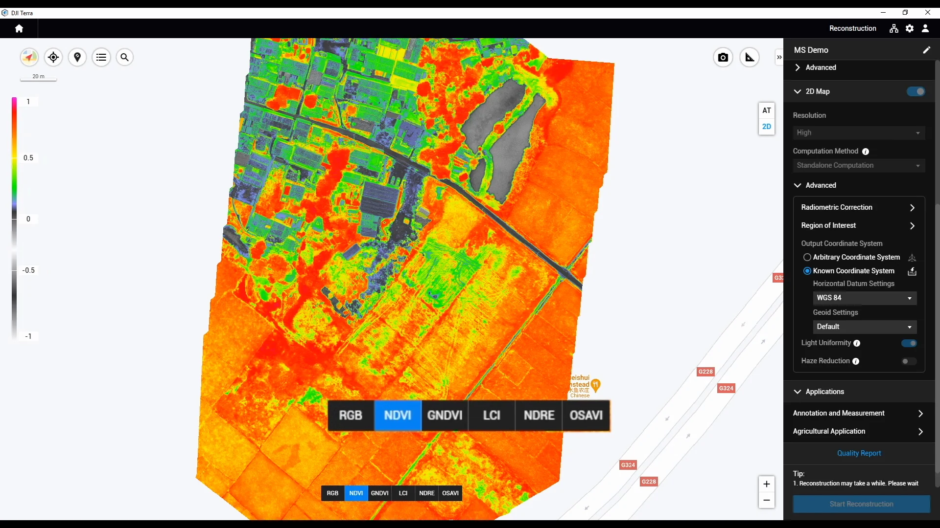
NDVI
Find differences worth checking.
Compare vegetation-index patterns across the mapped area to prioritize scouting. A colour on this map does not identify the cause of a difference.
Compare the pattern with crop stage and ground observations.
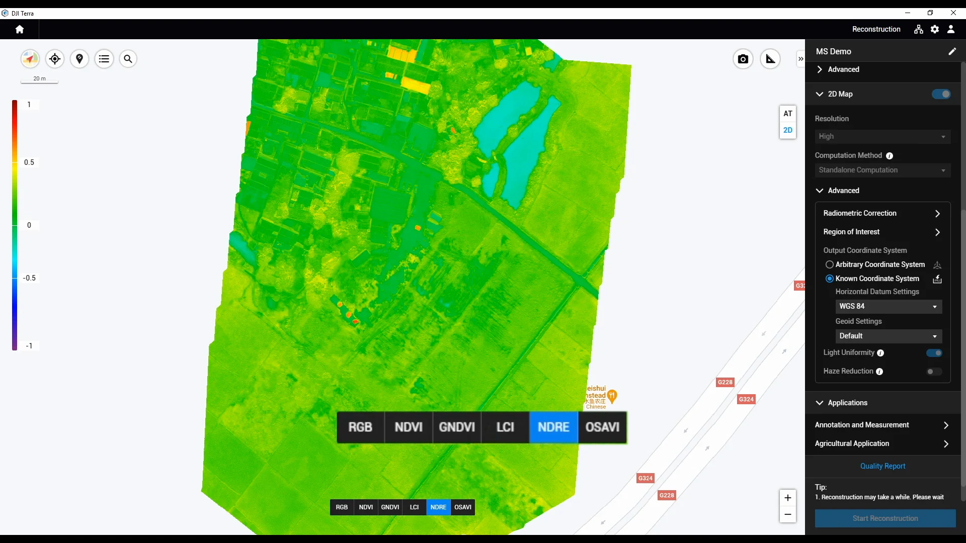
NDRE
Add a red-edge perspective.
A red-edge index offers another view of variability and can inform further nutrient assessment. It does not directly measure how much nitrogen to apply.
Review with field checks and an agronomic adviser.
Real software demonstration; not a SpeedyDrone survey or a prescription. The original legends are preserved. The background outside the reconstructed footprint has no index result.
Built to capture more than a photograph.
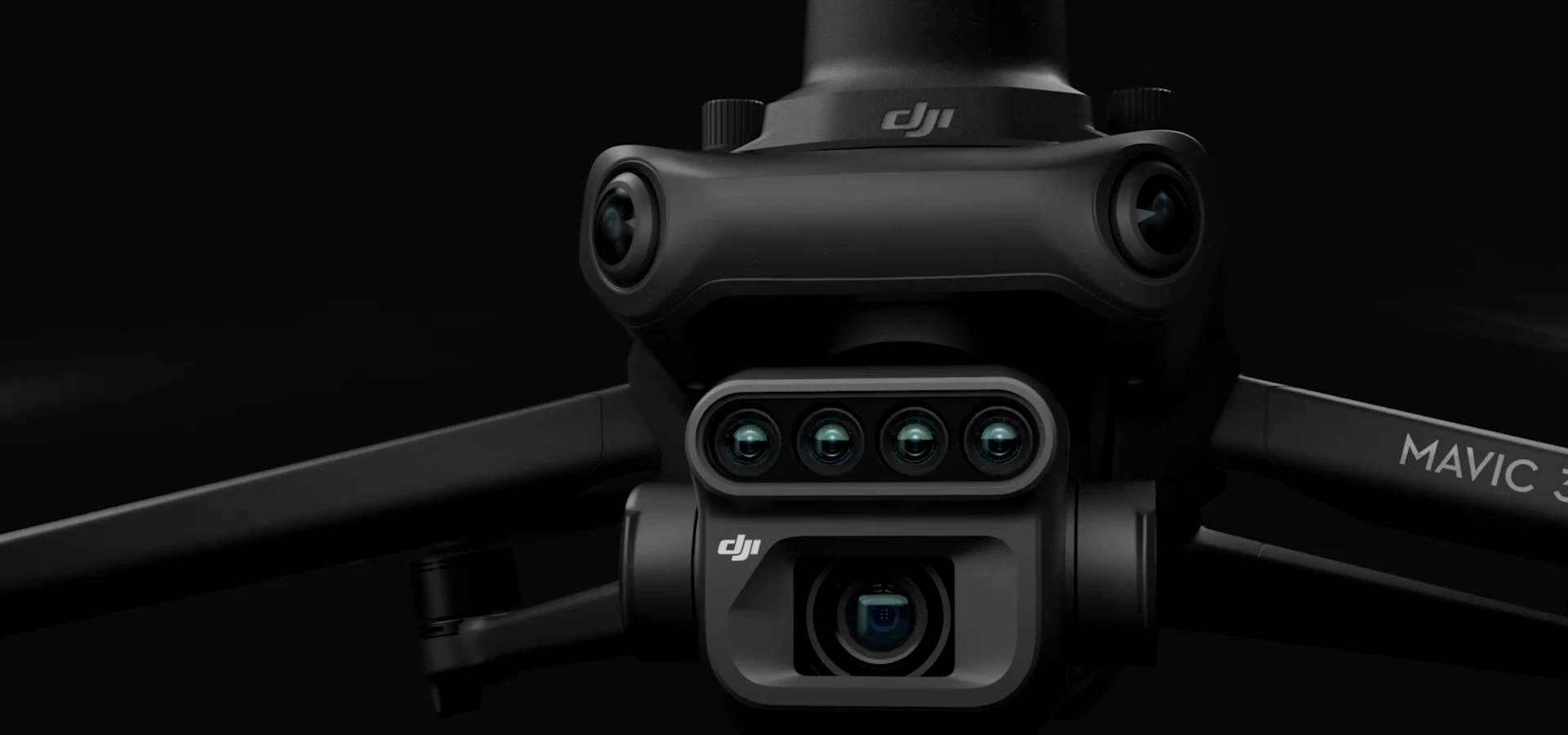
Visible context. Four additional bands.
The RGB camera records visible detail. Green, red, red-edge and near-infrared cameras collect separate spectral information. Usable maps and index layers come after processing and quality checks.
- 01Green
- 02Red
- 03Red edge
- 04Near infrared
Capture → image correction and band alignment → map quality checks
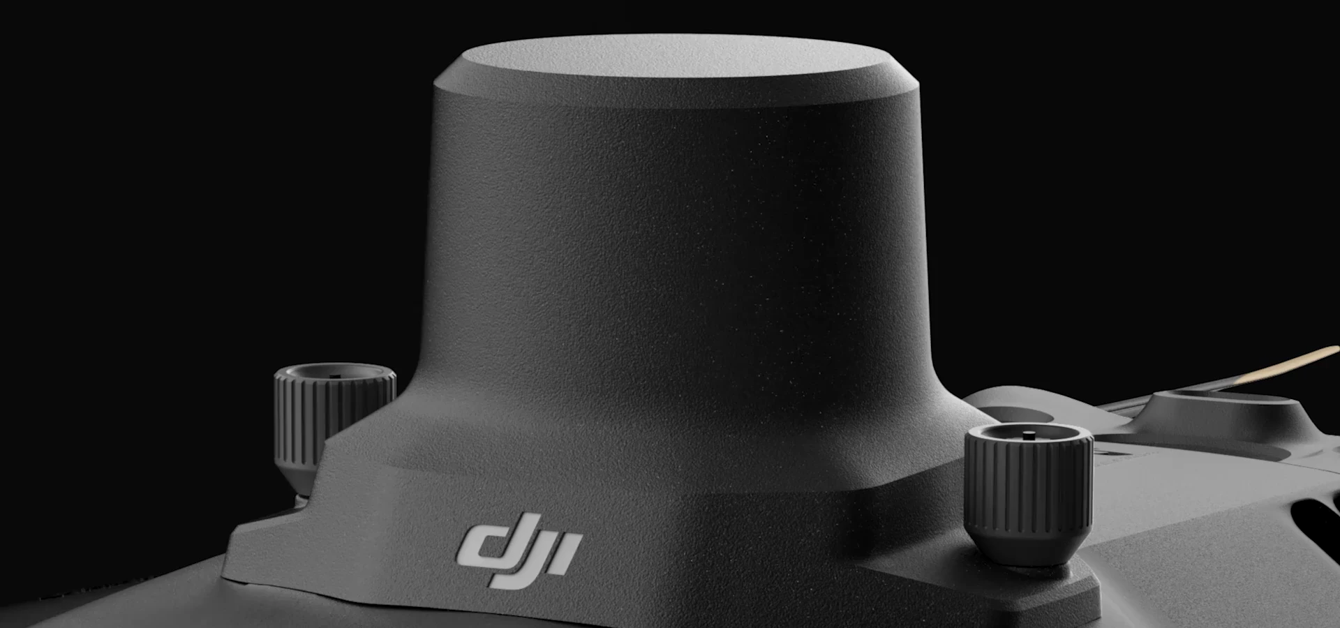
Position the imagery.
The included RTK module supports georeferenced capture. Plan the correction source, connection and survey checks. Assess mapping accuracy against the intended deliverable.
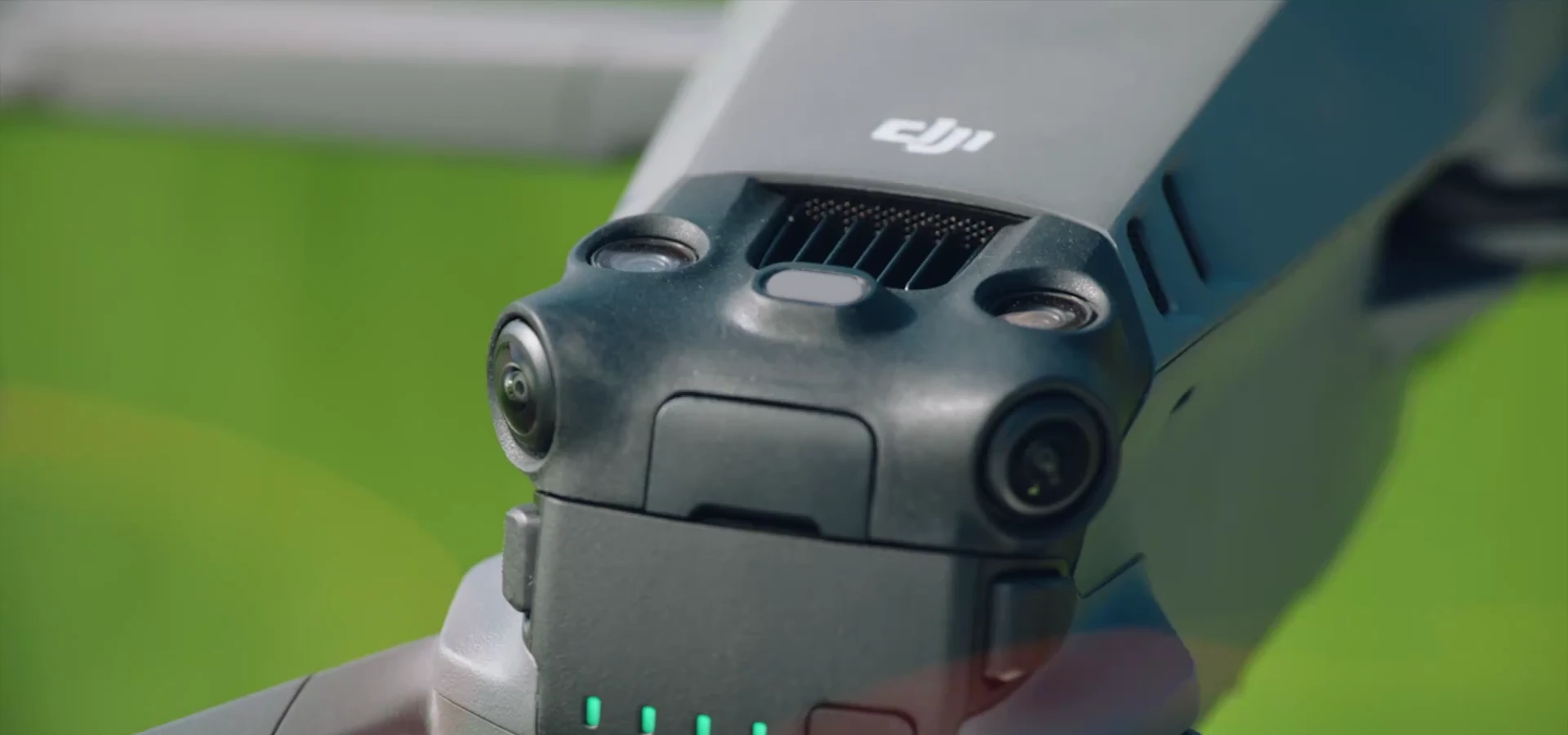
Record the light.
The top-mounted sunlight sensor records incoming light for multispectral processing. It does not remove weather effects or make every flight directly comparable.
Where Mavic 3M fits into your operation.
 01
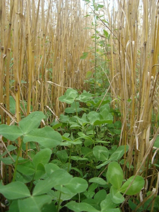
01Focus ground scouting
Find areas that differ, then organize a field visit to investigate what is happening.
 02
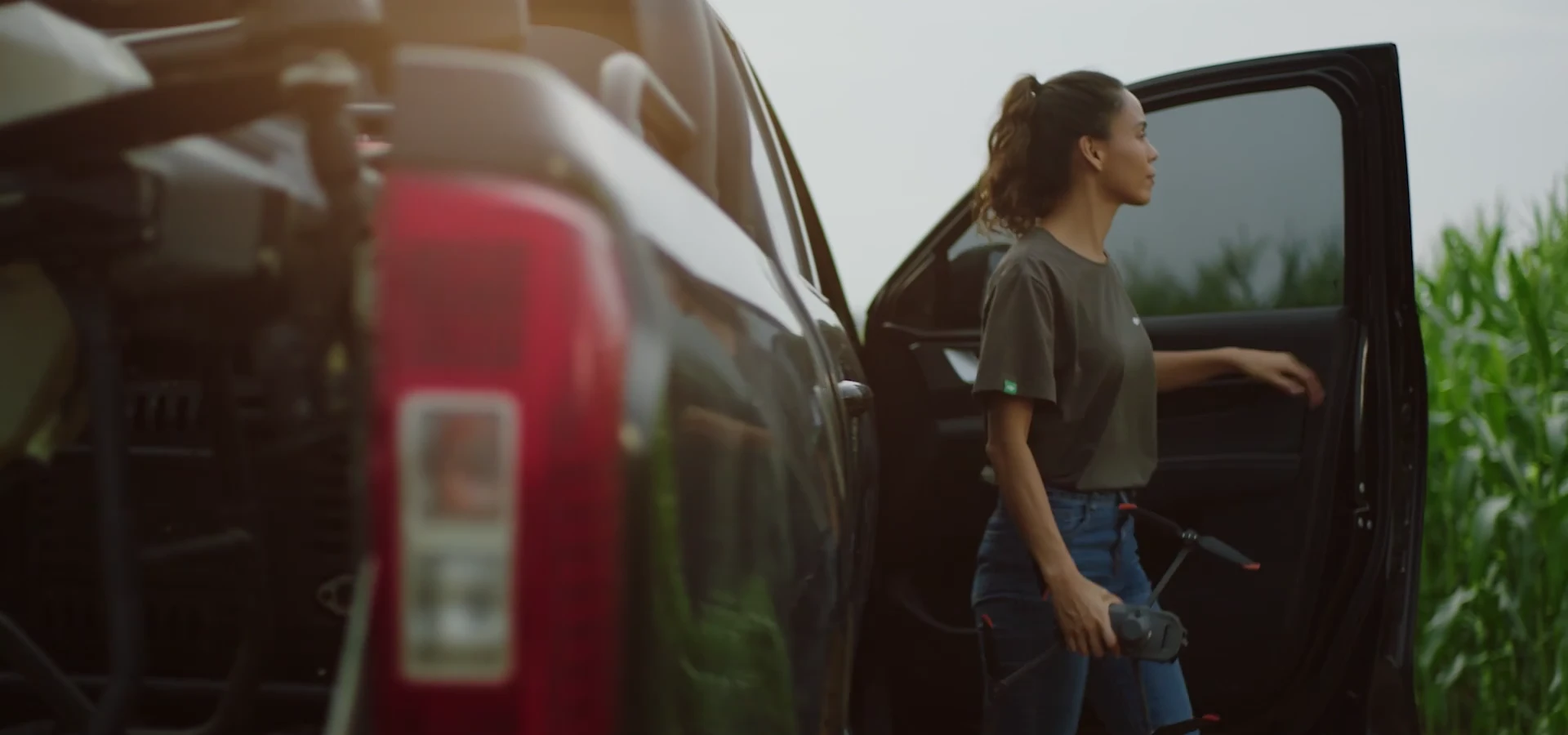
02Build a repeat-survey record
Collect a useful record over time with an agreed capture and processing method.
 03
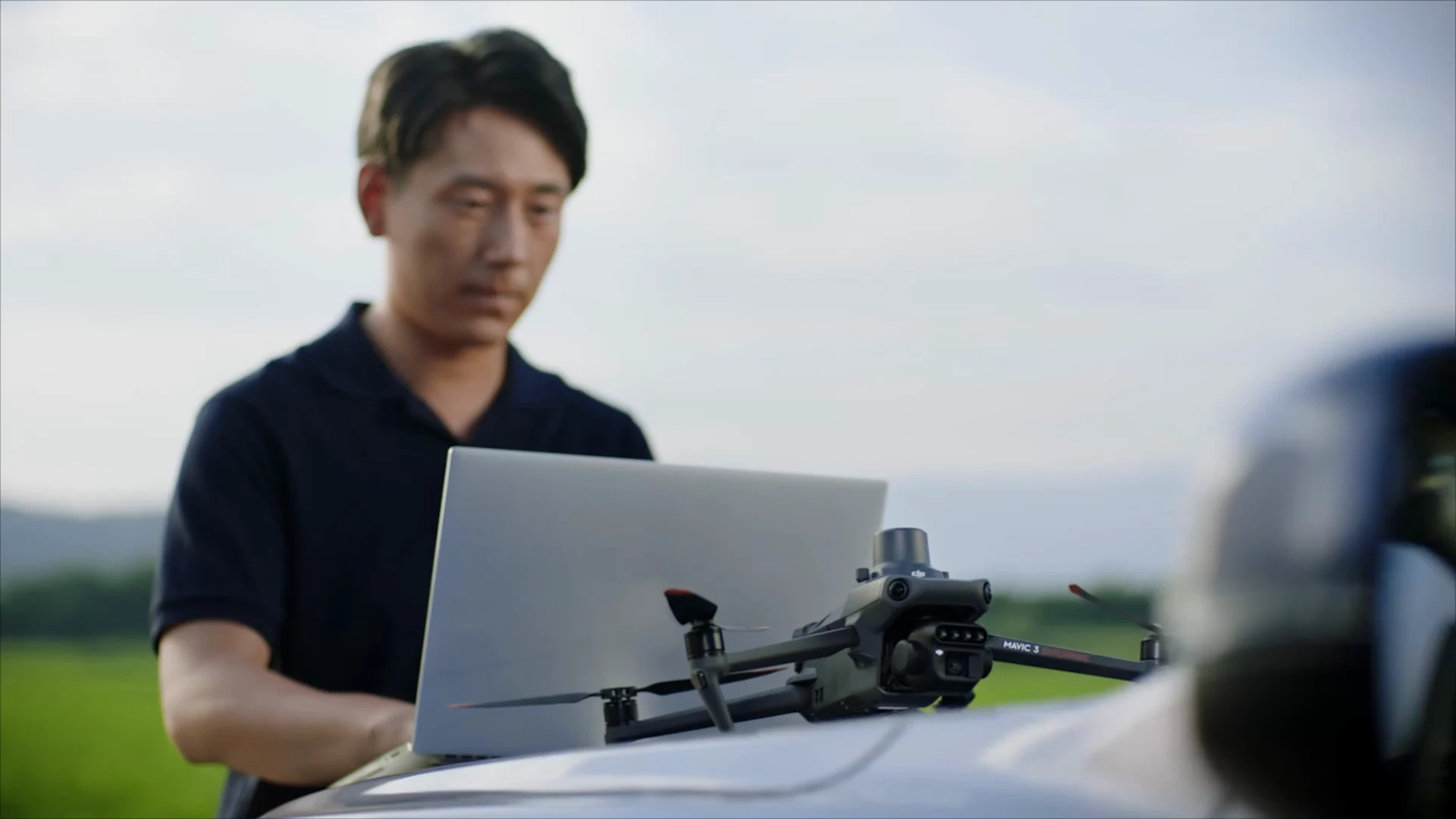
03Support field planning
Use imagery and ground observations to inform management zones and subsequent tasks.
A useful fit when…
- You have a field question and can plan repeat capture and ground checks.
- Someone can process, interpret and follow up on the data.
- You want surveys to become part of your field-management routine.
First clarify the need if…
- You only need occasional promotional photography.
- No one is responsible for the data after the flight.
- You expect automatic diagnosis or an application rate from the aircraft.
From field imagery to an informed next step.
Capture, review and plan with a workflow configured for your equipment and operation.
01Survey
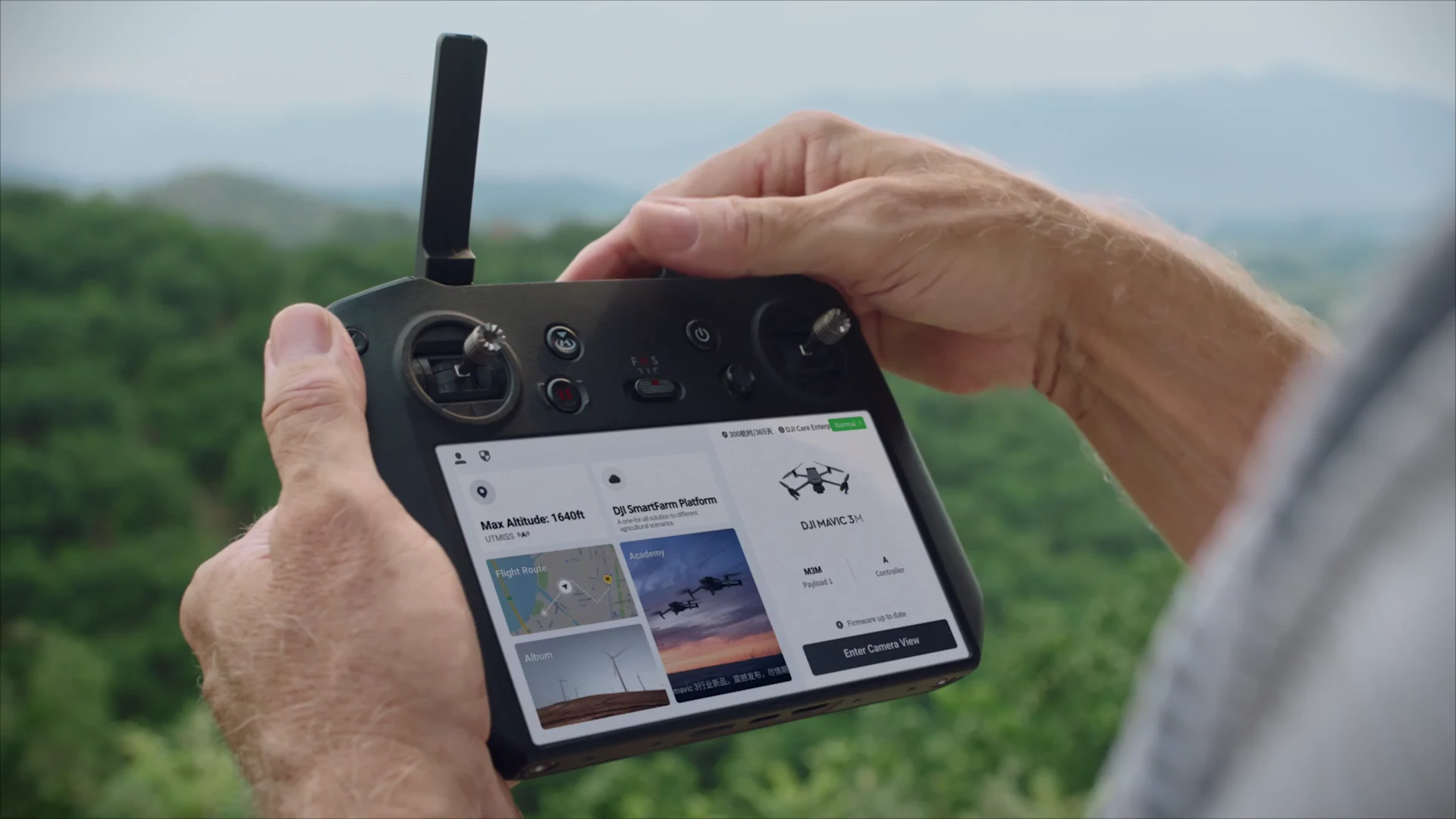
Capture with Mavic 3M.
Plan and carry out the image-capture mission in DJI Pilot 2.
- Who
- Pilot / field team
- Output
- RGB and multispectral image files
02Analyze
Choose a processing route.
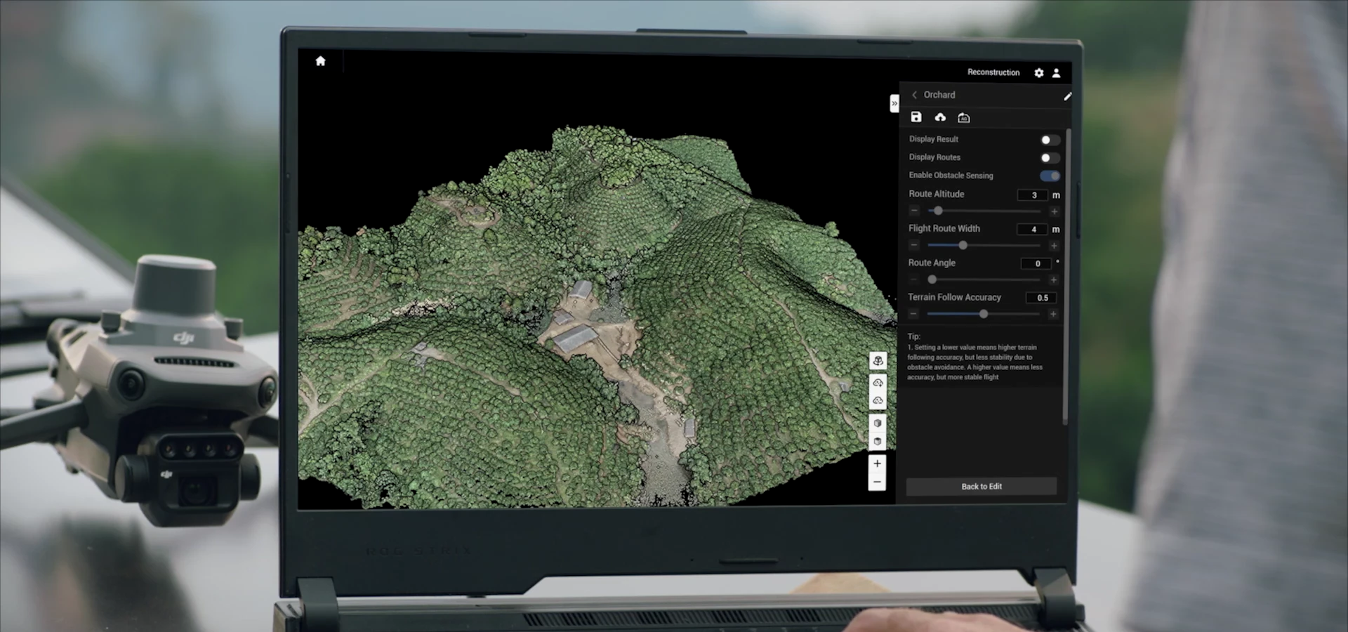
Use SmartFarm Web or a suitable DJI Terra workflow to reconstruct imagery and review layers. Choose the route for the task.
- Who
- Data operator / adviser
- Output
- Checked maps and areas to investigate
03Prescribe
Check the field. Confirm the plan.
Combine ground checks and agronomic judgment before defining management zones or any application prescription.
- Who
- Grower / agronomic adviser
- Output
- A human-reviewed next step
04Apply · optional
Connect execution when needed.
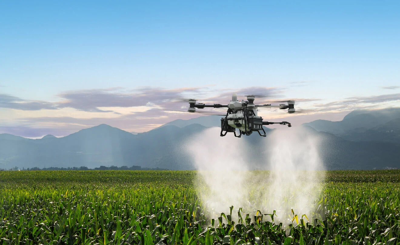
Hand an approved plan to compatible equipment. T50 or T100 is an optional path; confirm task parameters and transfer format.
- Who
- Application operator
- Output
- An application task, when appropriate
05Verify
Keep records. Return to the field.
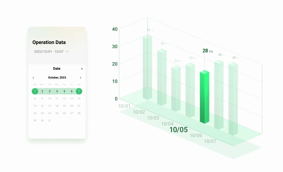
Review operation records and arrange follow-up observations. SmartFarm App supports Agras equipment and work records.
- Who
- Field team / adviser
- Output
- Work history and observations to review
Agree how the data moves.
SmartFarm Web and Terra are alternative processing paths. SmartFarm App is for Agras operations here; it is not the Mavic 3M flight-control interface. Some handoffs require active sharing or file import. The same account does not mean everything syncs automatically.
Records and repeat observations support review; they do not automatically prove that an application worked.
Plan the survey, not just the flight.
A useful survey begins with a field question and ends with data someone can use.
Prepare the kit
Plan batteries, return-to-home reserve, memory cards and the RTK correction source.
Set the field mission
Agree resolution, coverage, route, light conditions and positioning before capture. Mavic 3M is not waterproof.
Check and process
Review image completeness, keep capture notes and confirm the processing route, storage and map quality checks.
Plan suitable light. DJI recommends good lighting with a solar elevation of at least 30°. Consistent conditions matter for repeat surveys.
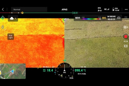
A live view is a different output.
The in-flight RGB / index display helps an operator observe during a mission. A completed field map requires reconstruction and quality checks; neither is automatically a prescription.
Configuration & support
Configure Mavic 3M for the way you scout.
Whether you have a data processing workflow or need to build one from capture to use, we start with your operation.
These configuration directions can be combined as needed. They are not fixed packages.
You have a data processing workflow
Equipment setup & operator handover
You already have image processing software or a processing partner and need Mavic 3M equipment and preparation for capture.
- Aircraft & field accessories
- Confirm the aircraft and accessories for your capture tasks.
- Positioning & operation
- Confirm RTK use, mission settings and operator handover.
- Connect to your workflow
- Agree how image files reach your existing software or team.
You need to build a scouting workflow
Survey capture & data workflow
You want to scout with Mavic 3M and need to define how images are processed, data is checked and who uses the results.
- Capture plan
- Confirm equipment, mission settings and capture checks.
- Processing & outputs
- Choose a processing route and define the maps or data you need.
- Training & handover
- Agree responsibilities, file management and workflow training scope.
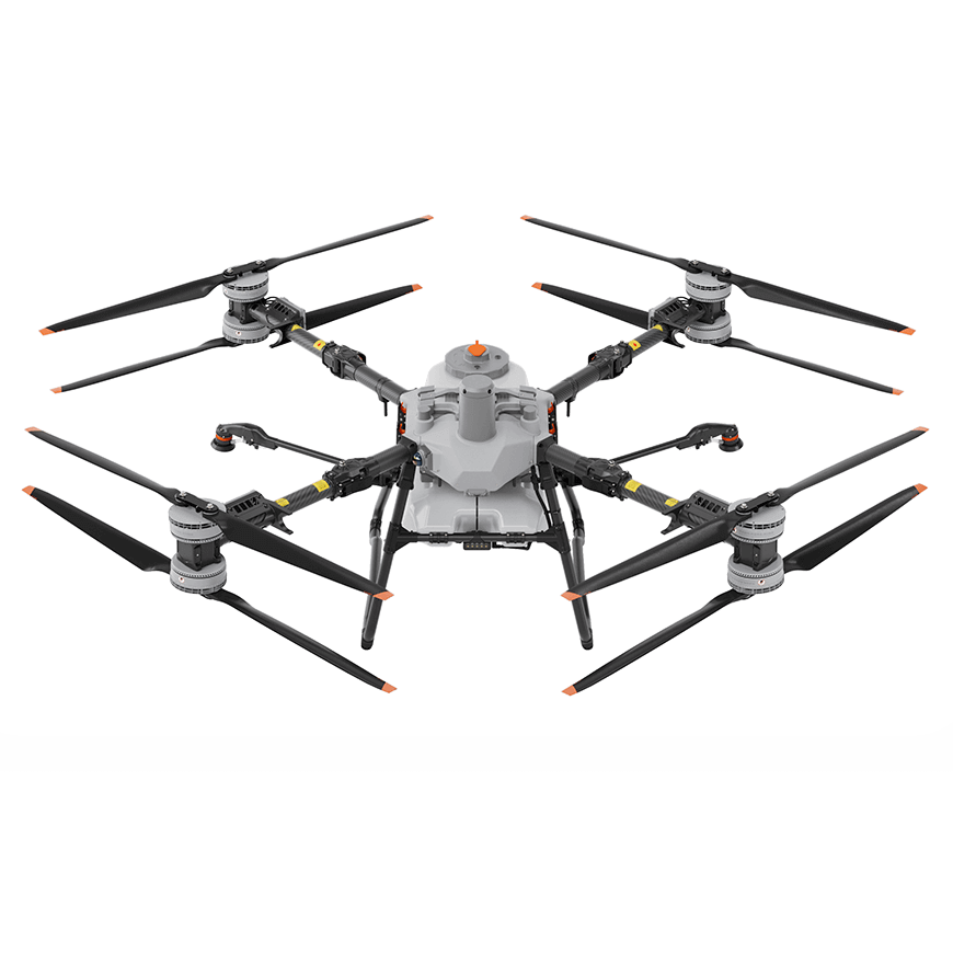
Optional workflow connection
Have an Agras, or planning to add one?
Explore how Mavic 3M data could connect to Agras operations. Confirm the path against your aircraft, software versions and task requirements.
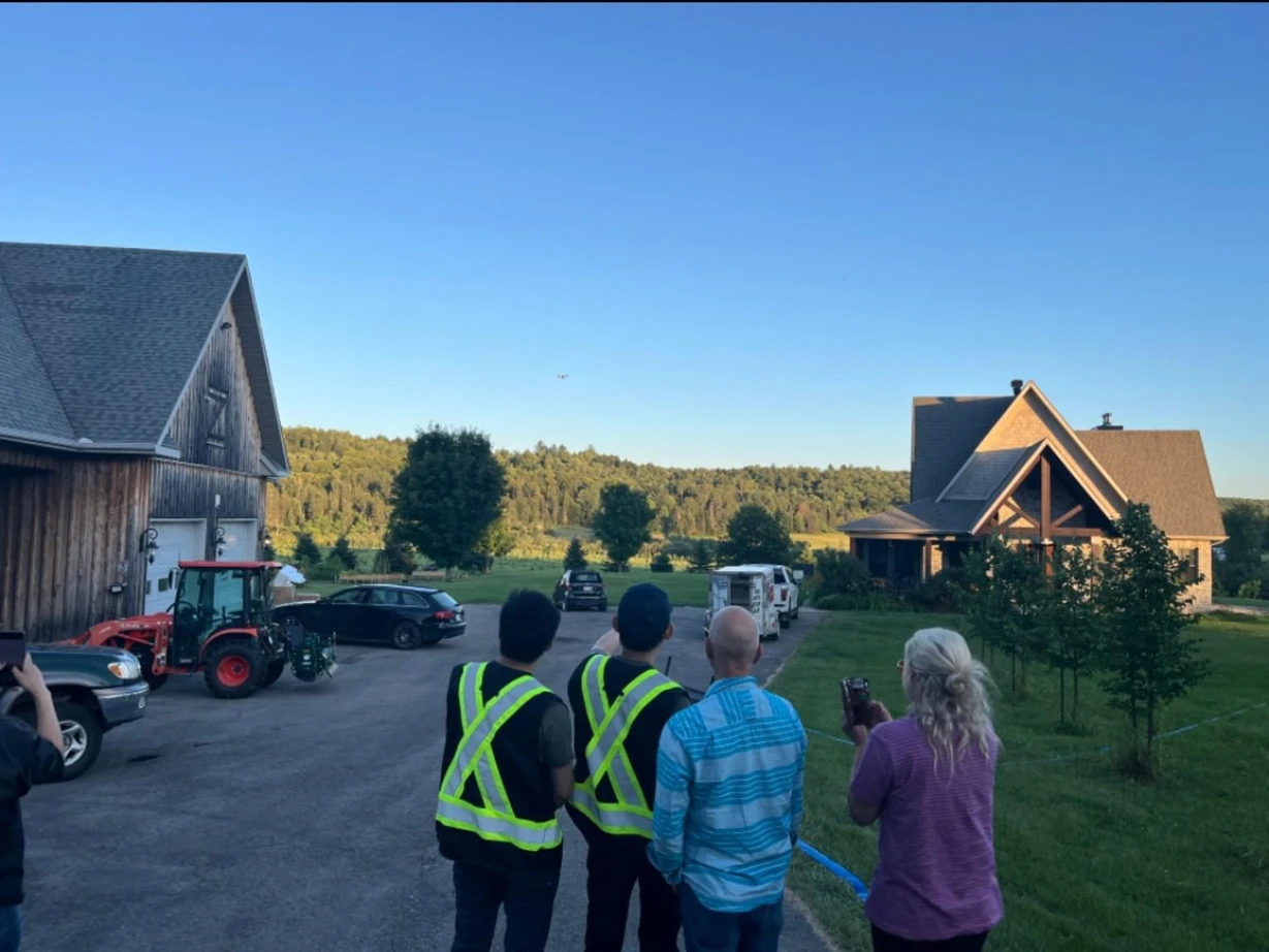
SpeedyDrone Canada
Put the handover into the plan.
SpeedyDrone helps define the equipment, workflow and training around your operation. Agree who captures, who processes and who reviews the data before the first survey.
Equipment deployment & local supportKey specifications.
Manufacturer specifications support configuration decisions. Field conditions still determine the survey plan.
Imaging
- RGB sensor
- 4/3 CMOS · 20 MP
- Multispectral
- 4 cameras · 5 MP effective pixels each
- Bands
- Green 560 ± 16 nm · Red 650 ± 16 nm · Red edge 730 ± 16 nm · Near infrared 860 ± 26 nm
Positioning & light
- RTK module
- Included as standard
- Correction source
- Network RTK or a supported base-station route
- Sunlight sensor
- Records incoming light for processing
Flight planning
- Maximum flight time
- 43 minutes · manufacturer test
- Weather
- Not waterproof
- Survey duration
- Plan for route, wind, light, batteries and return reserve
43 minutes was measured at sea level, in no wind, flying at a constant 36 km/h until the battery reached 0%. It is not effective survey time.
Before you choose your setup.
Do I need an Agras drone to use Mavic 3M?
No. Mavic 3M can form a standalone scouting, mapping and data-capture setup. Agras is an optional execution workflow when a reviewed plan calls for application.
Do I need both SmartFarm Web and DJI Terra?
No. Select the processing path that suits the intended output, software access and existing team. They are not compulsory consecutive steps or a default two-software purchase.
Can a vegetation index diagnose a crop problem?
No. An index helps locate and compare differences. Nutrient deficiency, disease and water stress require ground checks and agronomic judgment; the same visual pattern can have different causes.
Is the live index display the same as a completed field map?
No. The live display supports observation during flight. A field map is a processed result that needs reconstruction and quality checks. An application prescription adds a further reviewed planning step.
What RTK equipment or service do I need?
The aircraft RTK module is included as standard. Your operation still needs a suitable correction source: network RTK with connectivity, or a supported base-station arrangement. Confirm site coverage, service access and deliverable accuracy.
What should be checked before flying in Canada?
Check aircraft registration, the pilot certificate needed for your operation, airspace, site restrictions and the applicable operating category. Use current Transport Canada guidance for your location and flight plan; a product configuration is not an operating authorization.
Tell us what you need to understand about your fields.
Share your crop, acreage and current equipment. We’ll discuss a Mavic 3M configuration and data workflow around your needs.
Next: a requirements review and configuration discussion.
- Receive your brief
- Discuss suitability
- Confirm configuration & scope
- Prepare a quote