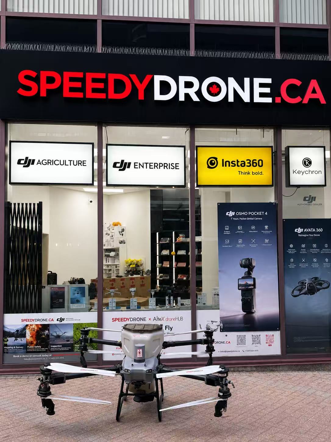
PRECISION AGRICULTURE SYSTEM
From seeing the fieldto acting on it.
Connect field imagery, mapping, agronomic review and Agras application, with equipment and support configured around your operation.
Start with your current equipment. Add mapping and data capabilities where they fit.
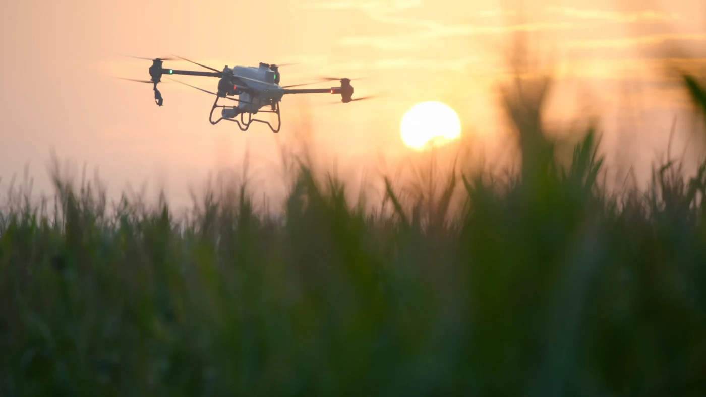
Every stage has a purpose.
See what changes at each step, what comes out of it, and who carries it forward.
Power · Batteries · Material supply · Crew
Plan field logistics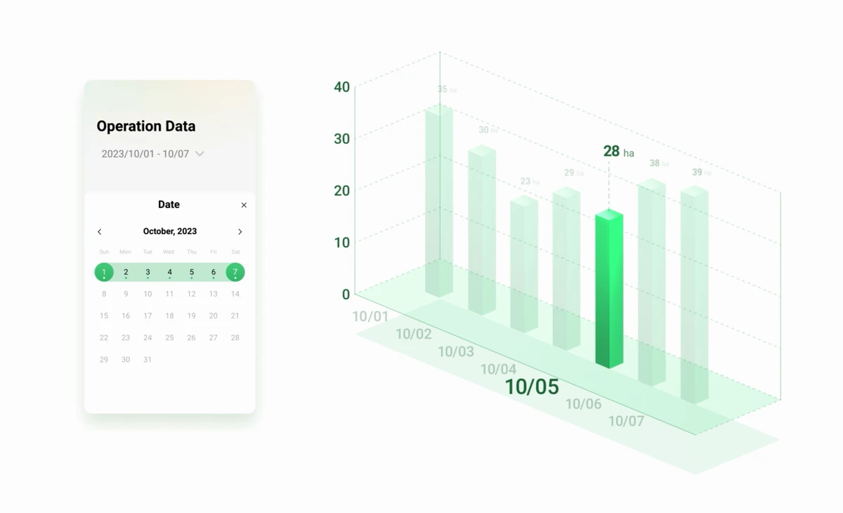
01 / SEE
See where the field differs.
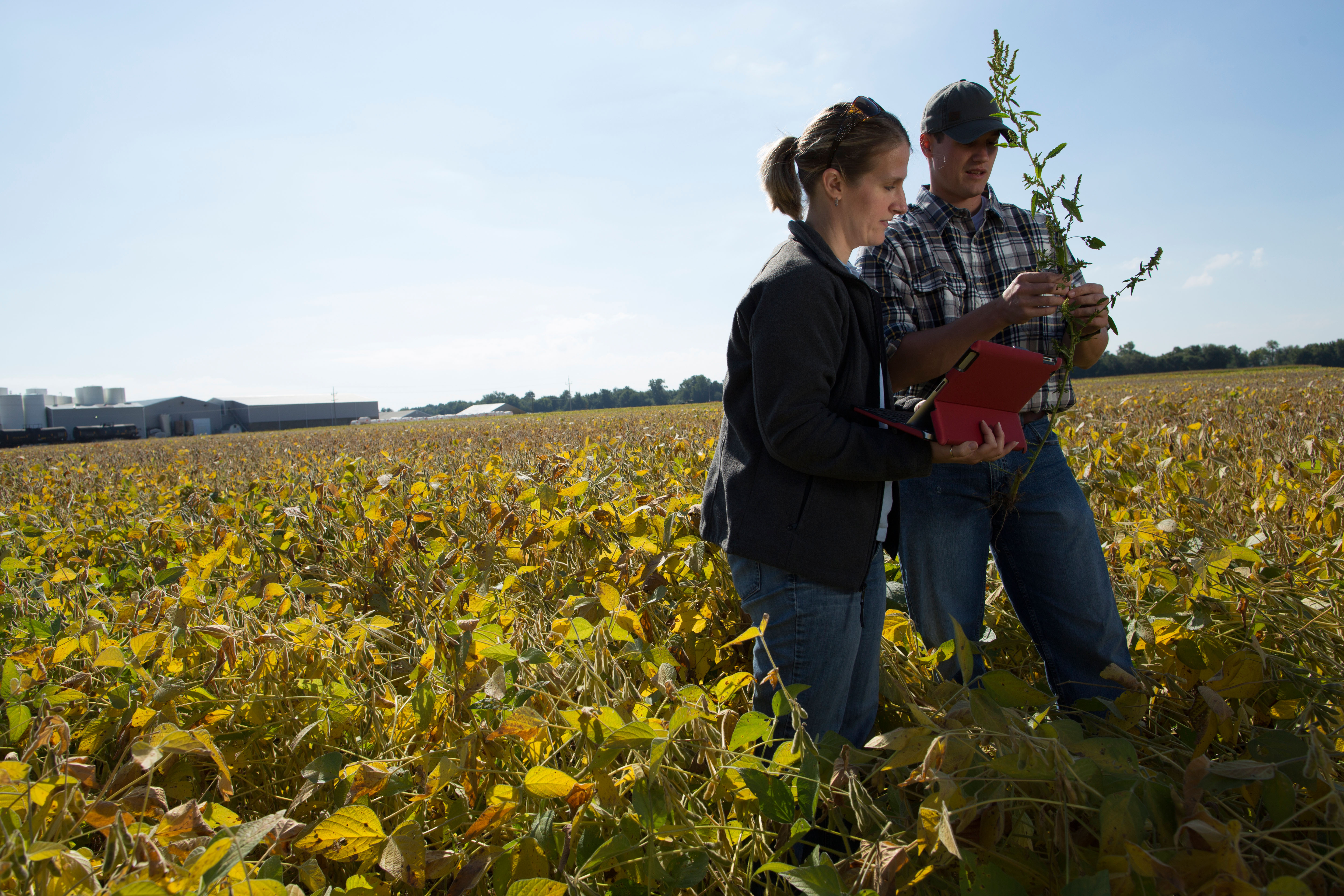
Capture RGB and multispectral imagery with Mavic 3M to identify areas that deserve a closer look.
Equipment & peopleMavic 3M · Capture operator
- What this stage produces
- RGB and multispectral imagery
- Before moving on
- Confirm the survey boundary, image quality and capture date. Keep the information needed for processing.
SpeedyDrone can help configure the capture workflow, equipment settings and operator training.
02 / UNDERSTAND
Turn imagery into a usable field view.
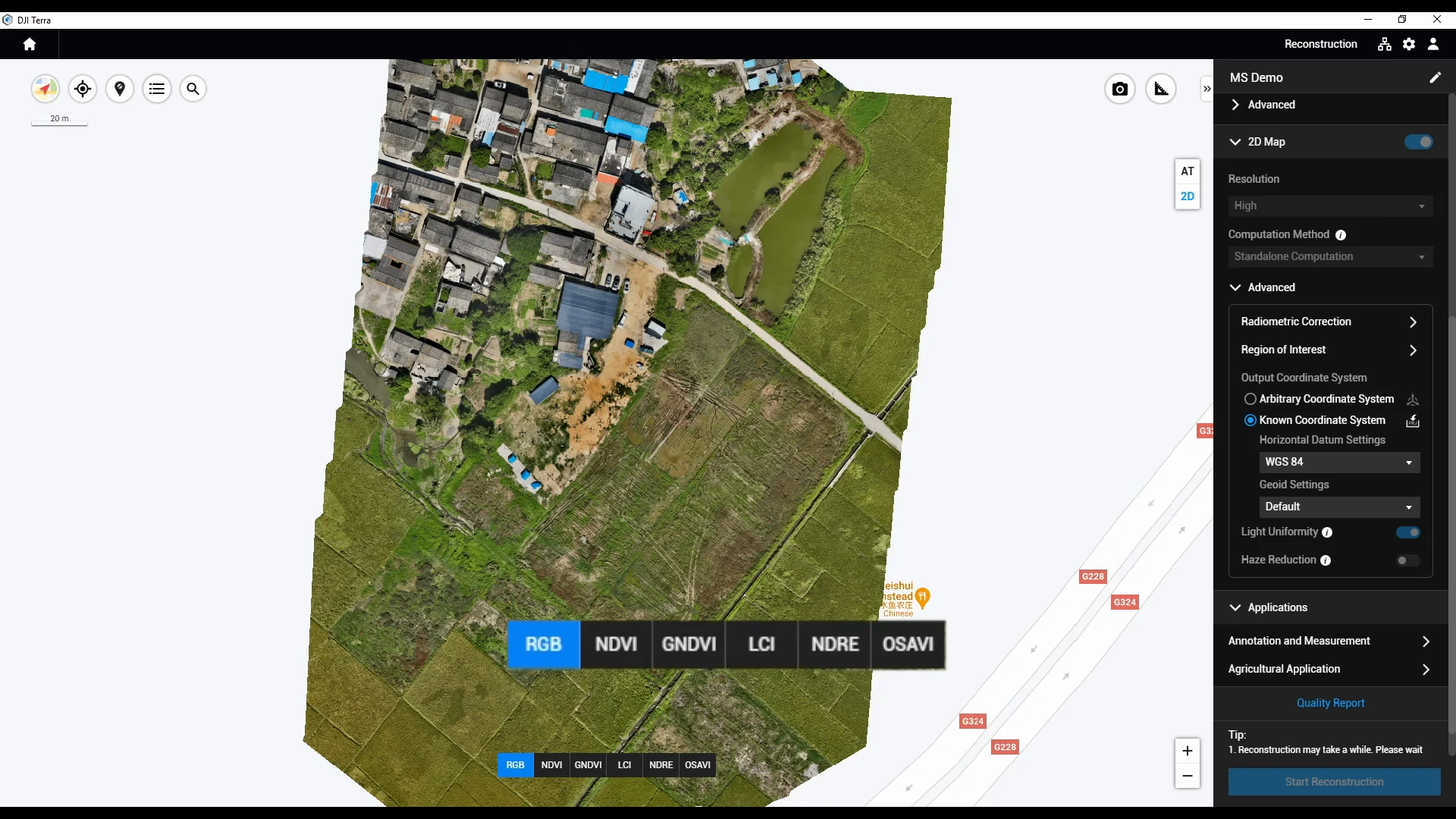
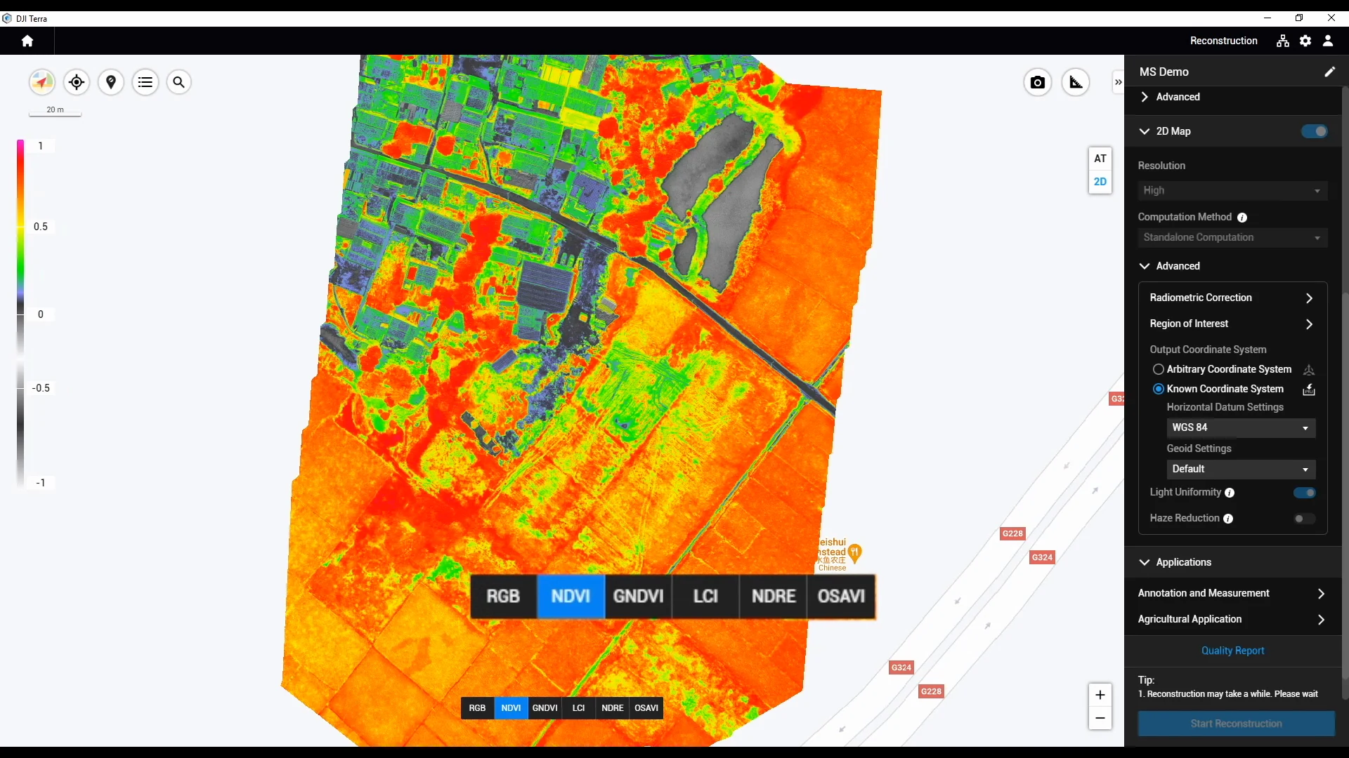
Process imagery into field maps and vegetation-index layers using a workflow selected for your operation.
Equipment & peopleSmartFarm Web or a suitable DJI Terra workflow
- What this stage produces
- Field maps and areas for review
- Before moving on
- Check the map extent, layer meaning and image quality. A vegetation index alone cannot diagnose nutrient deficiency, disease or water stress.
Choose a processing route for the deliverables you need. SmartFarm Web and Terra are not compulsory consecutive steps.
03 / DECIDE
Confirm what needs to happen.
Combine mapped variability with field checks and agronomic guidance before defining zones, application rates or a decision not to treat.
Equipment & peopleOperator · Agronomic adviser · Technical team
- What this stage produces
- A reviewed operation plan
- Before moving on
- Confirm field observations, management zones and the basis for any rate. Prepare a compatible prescription map only when variable application is needed.
Who confirms the decision
The operator and their agronomic adviser confirm agronomic decisions. SpeedyDrone supports equipment, data handover and execution configuration within the agreed scope.
04 / APPLY
Put the confirmed plan to work.
Power · Batteries · Material supply · Crew
Plan field logisticsPrepare the selected Agras platform, confirm the task on the controller, and carry out the planned spraying or spreading operation with field support in place.
Equipment & peopleSelected Agras platform · Field crew
- What this stage produces
- Operation records from the planned task
- Before moving on
- On the controller, verify the field, task version, parameters and current field conditions before operation.
T50 is the aircraft shown here. Review T100 separately for its own configuration, availability and local support.
05 / REVIEW
Review the operation. Plan the next check.
Review available task records, note exceptions and plan follow-up checks with your team.
Equipment & peopleSmartFarm App · Operator · Field team
- What this stage produces
- Task records and follow-up actions
- Before moving on
- Match the available date, field, flight path and task parameters to the intended work. Label manually added observations and follow-ups separately.
Operation records answer “What was carried out?” Follow-up field checks answer “What changed in the field?”
Use the stages your operation needs. An established task can start with a reviewed plan; a scouting task may end with further observation.
How the workflow connects.
The processing path depends on your task. These tools have different roles.
SmartFarm Web
Online processing & field planning
Farmland image reconstruction, field planning and information management.
DJI Terra
A task-specific processing route
Reconstruction and data processing, including agricultural multispectral workflows.
SmartFarm App
Equipment & operation records
Review available task data, flight paths, parameters and operation reports.
- Share or export
- Check on controller
- Confirm for operation
Confirm account access, licences, region, software versions, file formats and the selected execution equipment. Parallel options do not mean interchangeable outputs.
Explore software & compatibilityStart with what you already have.
The right system may include only the stages your operation needs.
I already operate an Agras drone.
Discuss whether imagery, map processing or a clearer data handover would help your current operation.
Discuss this workflowI already collect field imagery.
Check whether your existing imagery can support the planning process and connect to the execution equipment.
Discuss this workflowI’m planning a complete setup.
Define the task, people, software, equipment and field supply arrangements together.
Discuss this workflow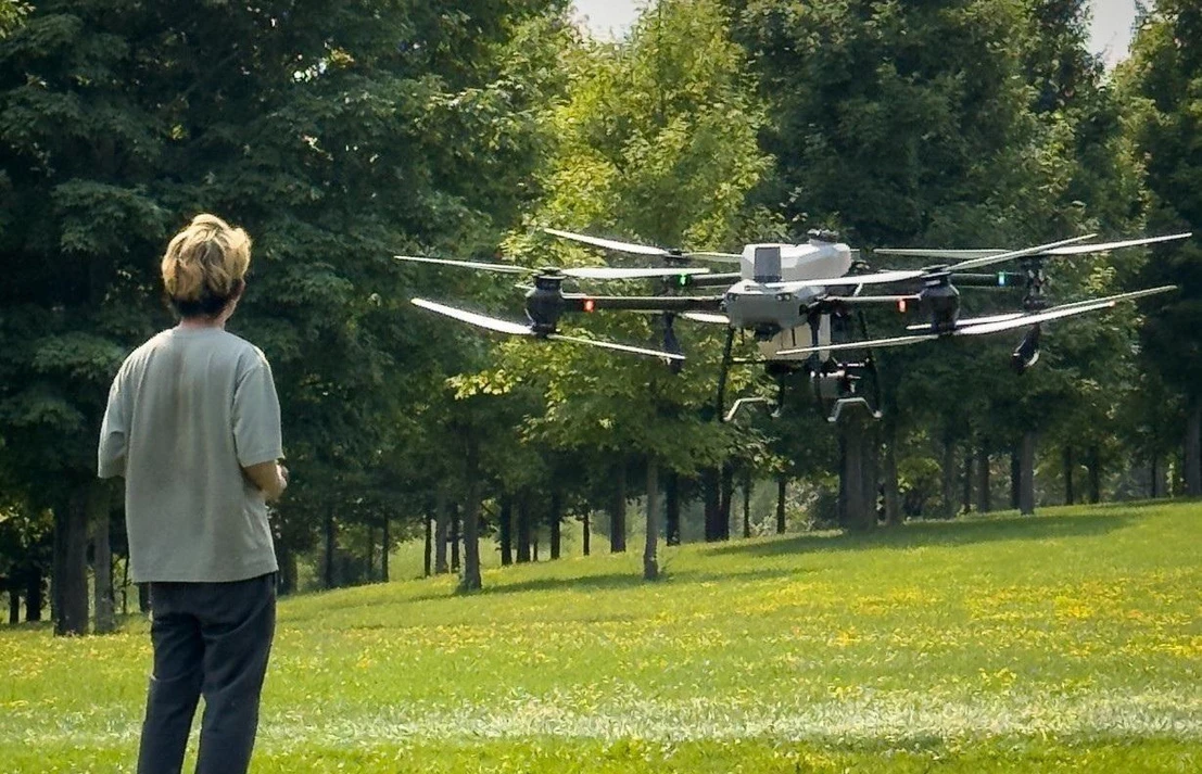
A workflow needs more than compatible equipment.
Define the people, deliverables and checks that make the workflow usable in your field.
Configuration & compatibility
Confirm the selected equipment, software versions, accounts, licences and transfer route.
Data handover
Agree who captures, processes and reviews the information, and which files and records change hands.
Field deployment & training
Bring equipment, power, material supply, people and operating handover into one agreed scope.
Project-specific software
Define additional backend, data-system or task-management development separately, with its own validation requirements.
DJI provides the native product functions. SpeedyDrone project development is scoped separately; it does not imply an existing platform that automatically connects every device or makes agronomic decisions.
Before you build your workflow.
Do I need the complete system?
No. Start with your current equipment and the stages your task needs. Scouting can stop at field checks, and an established application task can start from a reviewed plan.
Can my existing equipment and data be included?
We start by reviewing your equipment, available imagery, software, accounts and intended outputs. The transfer path and execution compatibility must be checked for that combination.
Who decides where and how much to apply?
The operator and their agronomic adviser confirm the agronomic plan using field checks and relevant guidance. SpeedyDrone supports the agreed equipment, data and execution configuration. A map does not independently prescribe treatment.
Does a task record prove that the crop improved?
No. It documents the available details of execution. Agronomic effects need separate field observations and follow-up.
What should I share first?
Your province, crop or task, current equipment, approximate scale and the part of the workflow you want to improve. “Not sure yet” is a useful starting point too.
Tell us where your workflow starts.
Share your crop, location, current equipment and the task you want to improve. We’ll use that information to define the next configuration discussion.
- Receive your brief
- Discuss suitability
- Confirm configuration & scope
- Prepare a quote