Agricultural software
From field data.
To field decisions.
Reconstruct imagery, plan field work and review operation records. Choose the tools around the result you need.
Explore the softwareThe demonstration could not be loaded. The preview image remains available.
Three tools. Distinct roles.
SmartFarm Web, DJI Terra and SmartFarm App support different parts of an agricultural workflow. Start with the output, then select the software.
DJI SmartFarm Web
Bring the field into view.
Work with field imagery, boundaries and information in SmartFarm Web. Define the maps and plans your team needs to deliver.
The demonstration could not be loaded. The preview image remains available.
Image reconstruction
Process supported agricultural imagery into reconstruction results for review.
Field planning
Organize field boundaries and planning information around the intended task.
Information archiving
Keep field information organized for the people who need to use it.
DJI Terra
A closer look at field variability.
DJI Terra offers an alternative route for agricultural multispectral reconstruction. Review imagery and vegetation-index maps according to the question you need to answer.
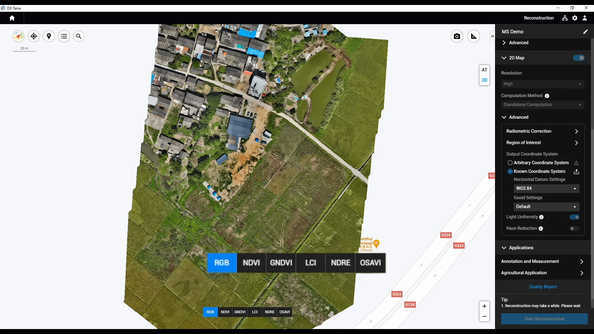
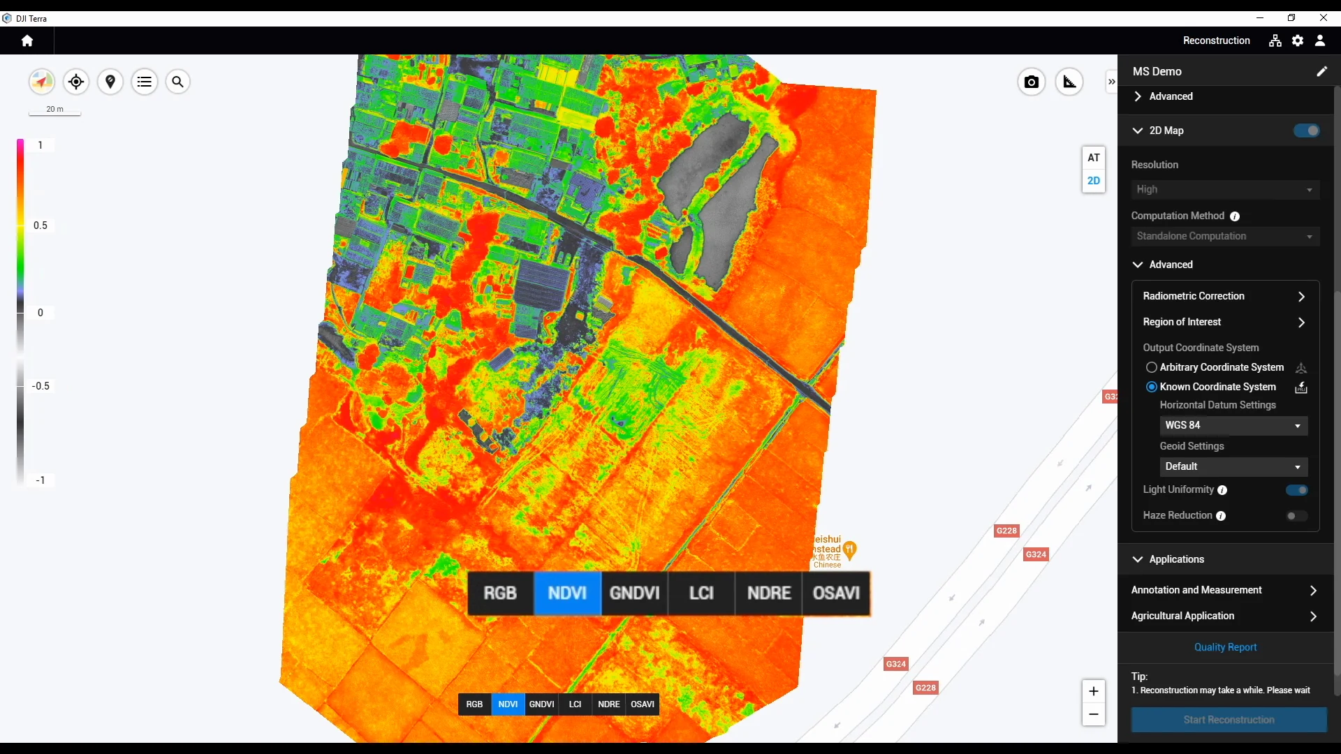
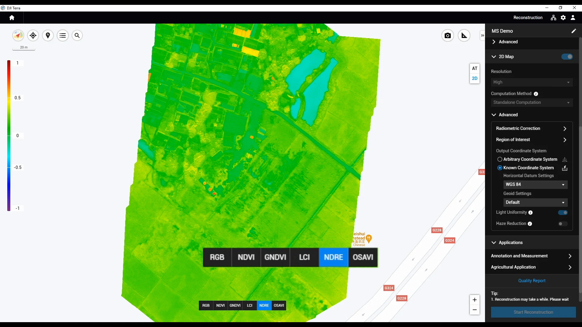
Index patterns guide further investigation. Confirm data quality and ground observations before an agronomic or application decision.
DJI SmartFarm App
Keep the operation in view.
SmartFarm App focuses on equipment and work records. Review what was carried out and prepare information for the next conversation.
The demonstration could not be loaded. The preview image remains available.
Equipment information
Review supported equipment through the relevant account and device setup.
Operation summaries
Consult recorded work information to support handover and review.
Flight routes
Review available flight-route records alongside the operation information.
Build around the task.
Imagery-led scouting and direct AGRAS work have different starting points. Connect the tools that support your operation.
Start with field imagery
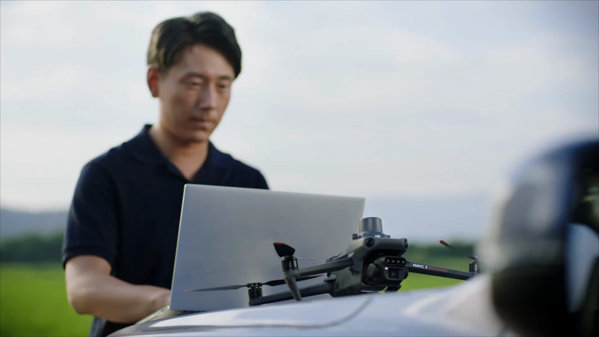
Mavic 3M captures RGB and multispectral imagery. Add suitable processing, review the maps and ground-check the findings.
Explore crop scouting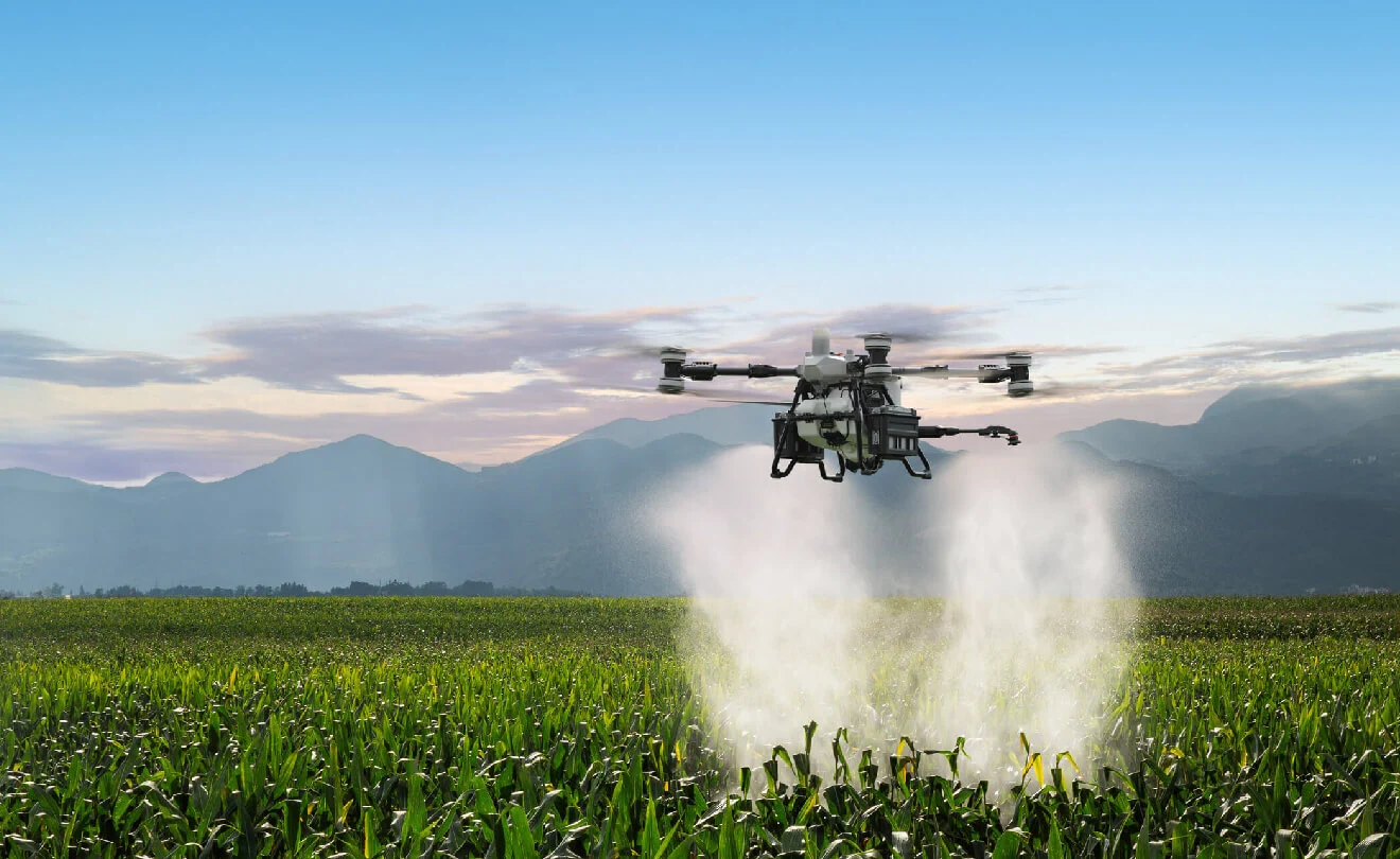
Start with an AGRAS operation
Plan the aircraft, field task and execution settings. A separate imagery and reconstruction workflow is not automatically required.
Explore AGRAS equipmentConfirm each handoff through human review, file transfer or verified software sync. Terra and SmartFarm Web are processing choices, not compulsory consecutive steps.
Explore the precision agriculture systemPlan your software setup.
Tell us what you have and what you need to deliver. We can discuss the configuration, required checks and support scope.
Discuss your configuration- Aircraft and controller
- Current software and licences
- Desired output and source data
- Users, records and handover needs
A few useful distinctions.
Are SmartFarm Web and SmartFarm App the same product?
They have distinct roles. SmartFarm Web covers imagery reconstruction, field planning and information archiving. SmartFarm App focuses on equipment, operation summaries and flight routes. Confirm the account access and supported functions for each.
Do I need DJI Terra before using SmartFarm Web?
No fixed sequence is required. Select the processing route according to the desired output, supported source data and equipment. Confirm the licensed edition, computer requirements and regional availability for your setup.
Does a compatible file mean the plan is ready to execute?
No. Confirm the receiving equipment, transfer method, boundaries, units, rates and field conditions. The responsible people must review the plan before execution. Operation records describe the work; they do not establish crop response or agronomic efficacy.