Precision agriculture solutions
Multispectral Crop Scouting
See field variability. Know where to scout next.
RGB and multispectral imagery from Mavic 3M help you see differences across a field and locate areas worth a closer look.
Build a stand-alone scouting workflow, or connect it to your existing operation.
What should your next field visit answer?
Identify within-field variation
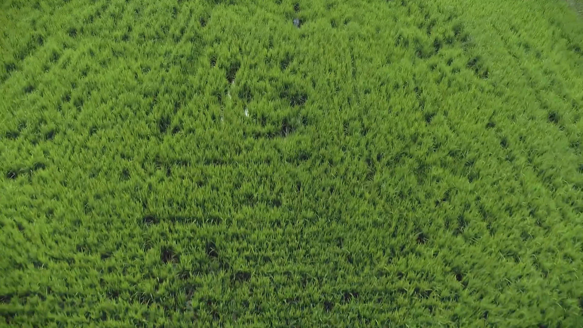
Locate areas that look different from their surroundings, then plan a closer check.
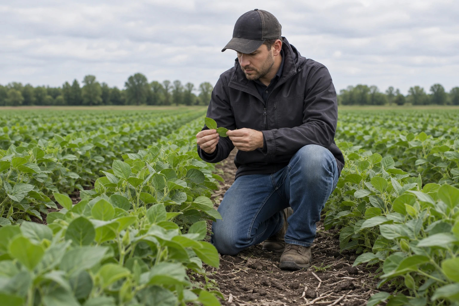
Prioritize ground checks
Turn areas of interest into a visit plan. Bring field photos, crop observations and any samples back to the map.
Plan repeat observations
Plan repeat visits to the same field. Record dates, crop stages and capture conditions before comparing results.
Read the field
One field. Different layers of information.
RGB shows visible field detail. Vegetation indices reveal spatial variation. Ground checks help you understand what the differences mean.
DJI Terra · manufacturer demonstration
MS Demo / DJI TerraThe same reconstructed field, shown in RGB, NDVI and NDRE in DJI’s tutorial. Original framing and colour scales are preserved. This is a manufacturer demonstration, not a customer case.
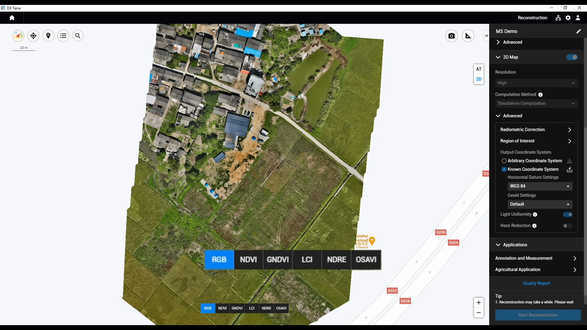
Example marker position only. No measured anomaly is asserted.
RGB
Start with visible field detail.
Orient yourself within the field, look at the crop surface and locate the area you want to visit.
What can you see here, and how will you reach it?
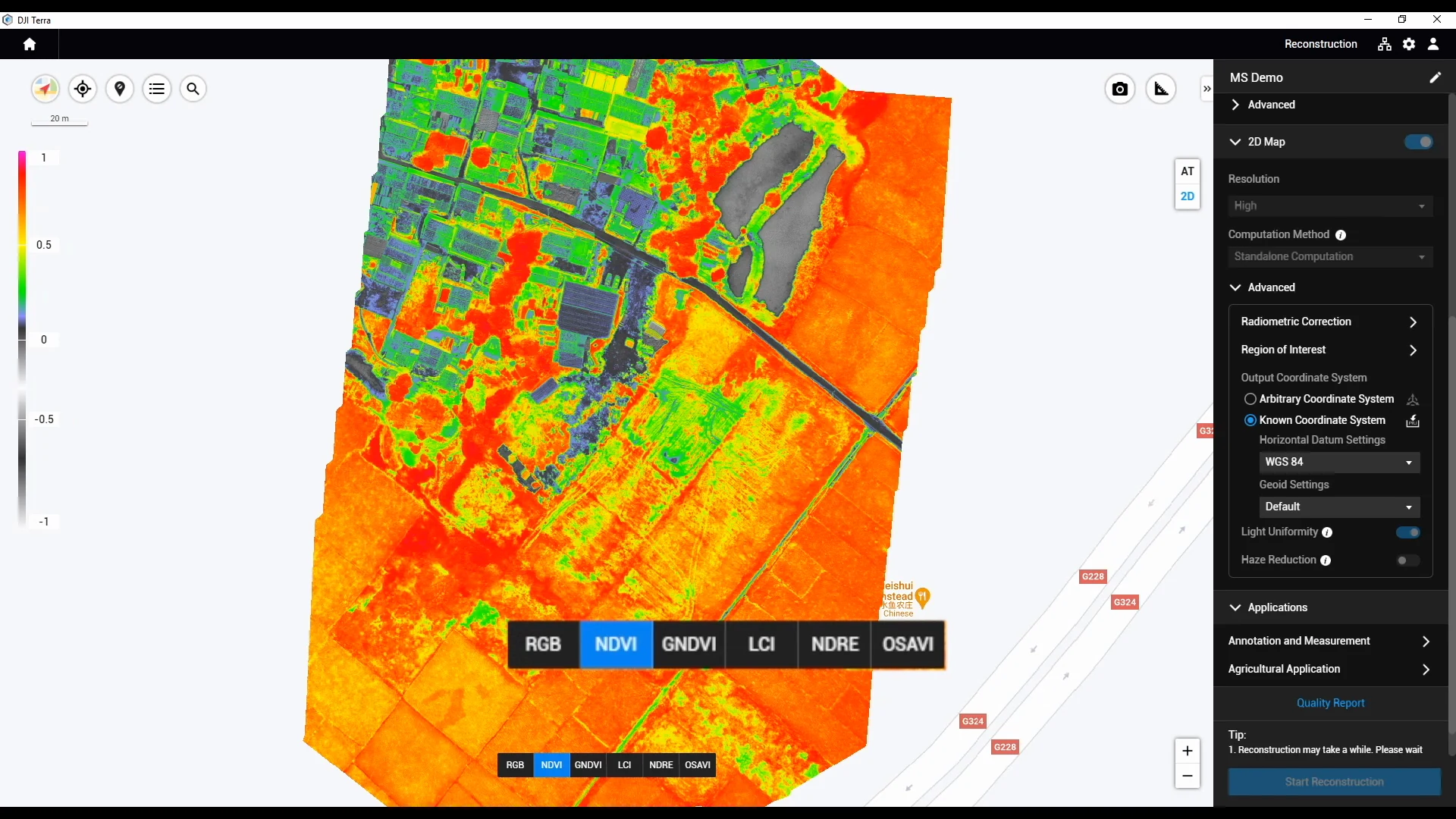
Example marker position only. No measured anomaly is asserted.
NDVI
Locate differences to investigate.
Observe the index distribution across the field and choose areas for a closer look. The colour alone does not identify the cause.
Does the difference also appear in the crop on the ground?
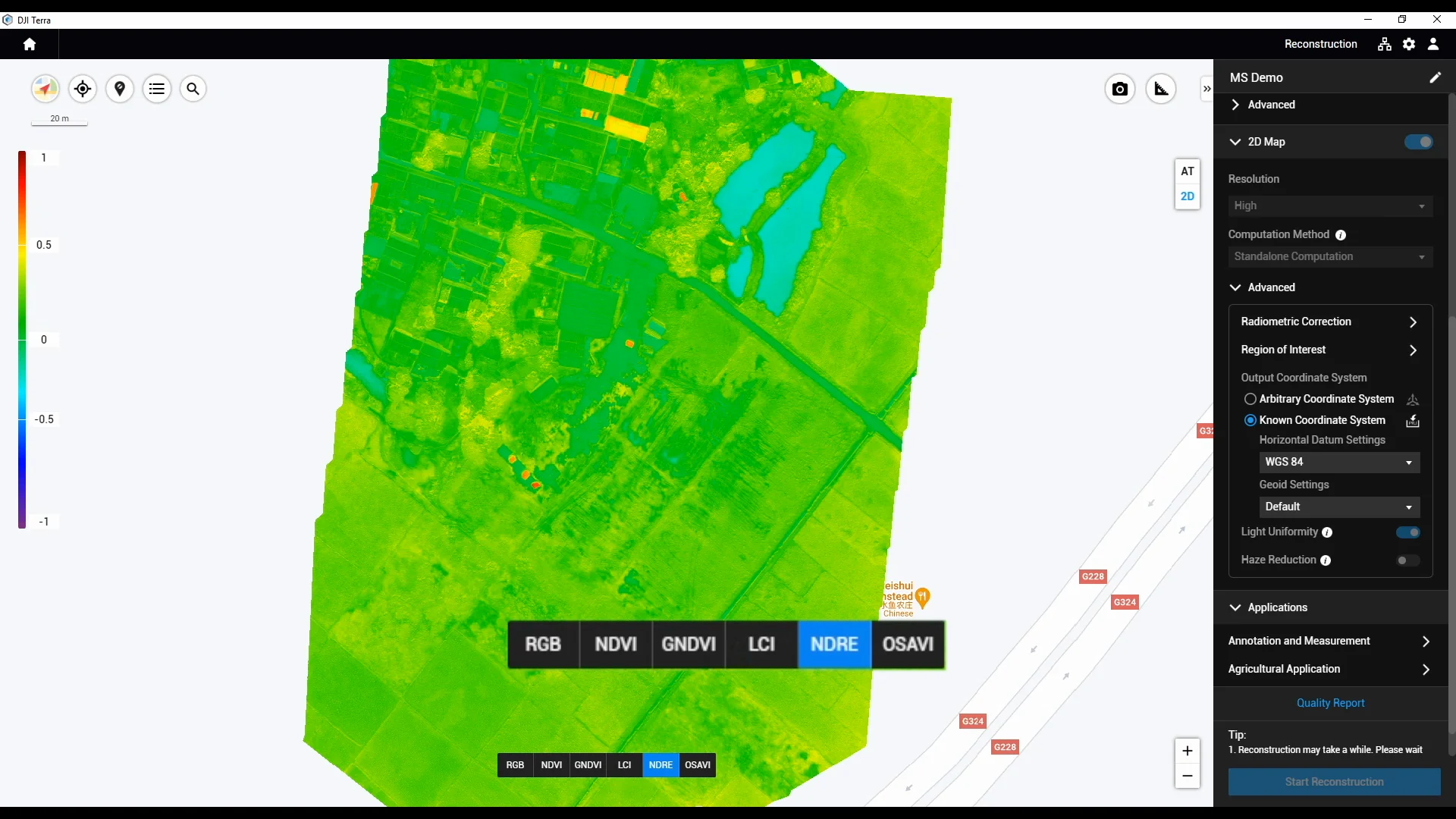
Example marker position only. No measured anomaly is asserted.
NDRE
Add another layer of context.
Use red-edge information alongside other observations to support further assessment of chlorophyll and nutrient status.
What crop-stage information, observations or samples are needed?
A map helps answer “where should we look?” A ground check helps answer “what is happening?”
The scouting workflow
From imagery to action — a practical workflow for real results.
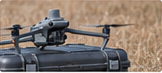 1
1SEE
Capture field imagery
Collect RGB and multispectral data with Mavic 3M.
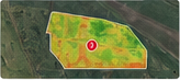 2
2UNDERSTAND
Create maps
Process imagery into field maps, including NDVI and NDRE.
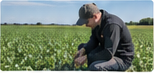 3
3DECIDE
Verify with ground checks
Check in the field. Confirm what’s driving the variation.
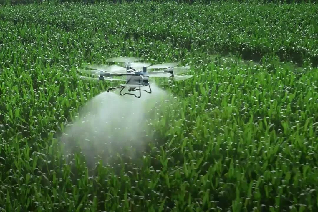 4
4APPLY (when needed)
Make informed decisions
Apply confirmed measures in targeted areas when needed.
 5
5REVIEW
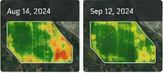
Compare results
Compare repeat flights, accounting for capture and processing conditions.
An index alone cannot diagnose a nutrient deficiency, disease or water stress.
What you leave with
Agree the outputs and support scope for your workflow. These are not automatically included with every aircraft purchase.

Field imagery & index layers
Selected layers, acquisition details, legends and quality notes.

Ground-check priorities
Locations, reasons for checking and a list of questions for the visit.

Field observations & decisions
Authorized photos, dates, sample information and agronomic notes.

Repeat observations, as needed
Dated views with acquisition conditions and limits on comparison.
Discuss prescriptions only when the management goal, agronomic basis and execution conditions are clear.
Equipment and software configuration
Start with collection and interpretation. Add an execution path only when your task needs it.
01Capture
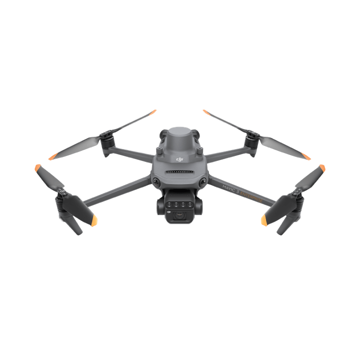
Mavic 3M
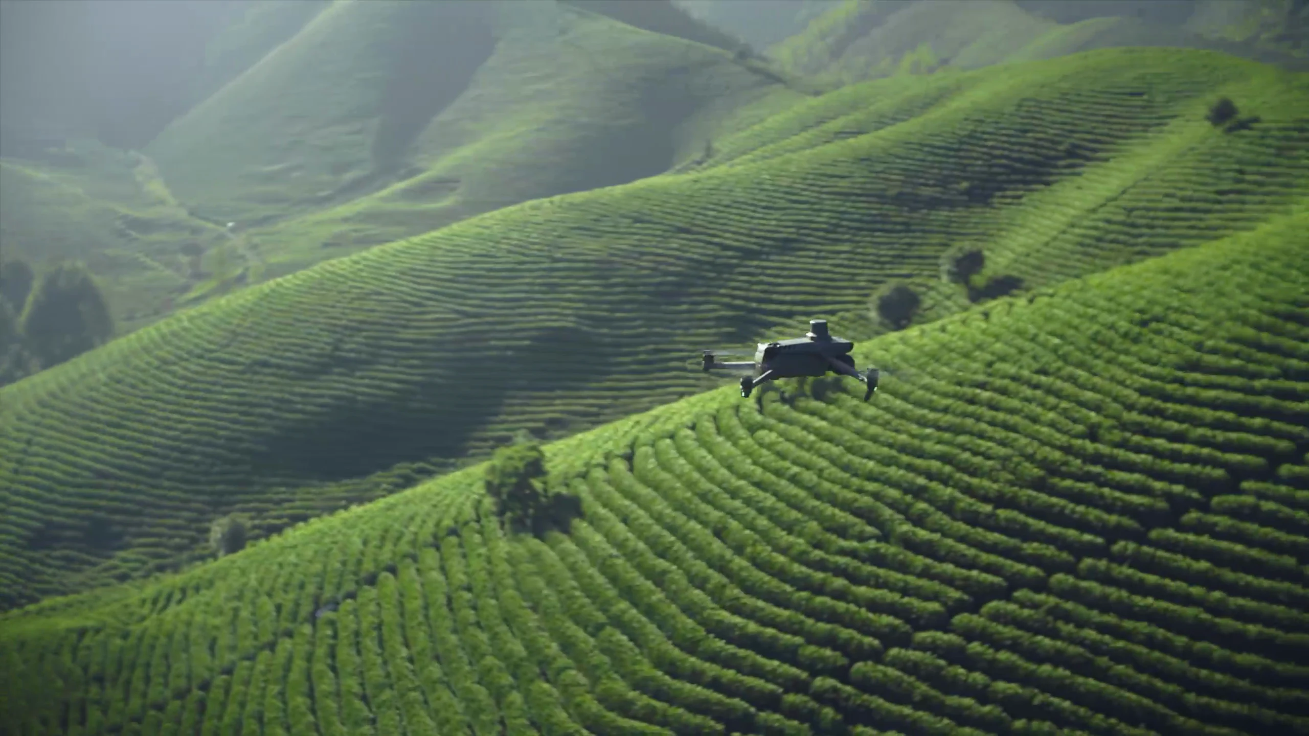
20 MP RGB plus green, red, red-edge and near-infrared bands.
RGB + multispectral capture
Explore Mavic 3M02Process
Choose the processing path for the task
SmartFarm Web
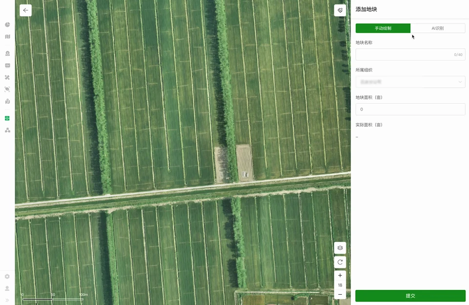
Supported field reconstruction, planning, information archiving and scouting analysis.
Explore softwareDJI Terra
An alternative reconstruction and data-processing route, including agricultural multispectral reconstruction.
Explore softwareApply when needed
Connect to your operation
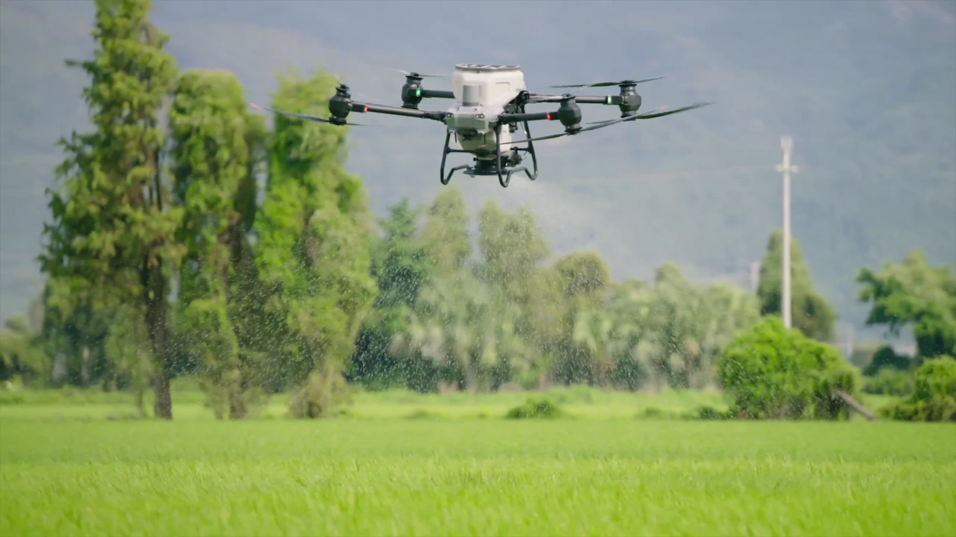
Existing farm methods, or a confirmed T50 / T100 configuration. Verify prescriptions and task compatibility first.
Outputs, capabilities, licences, regional availability and interfaces need task-specific confirmation. The paths offer different capabilities, and Terra is not a required step before SmartFarm Web.
SmartFarm App supports relevant device and operation records, including summaries, flight tracks and parameters. Work records alone do not prove crop response.
Build your own scouting capability.
Configure Mavic 3M, a selected processing tool, capture training and a practical way to use the results.
Explore Mavic 3MConnect scouting to your operation.
Review what your existing equipment and workflow need between the map, agronomic decision and any subsequent work.
Discuss the workflowSupport beyond the aircraft and the map.
Plan the capture, processing, training and follow-up around your crops and the way you work.
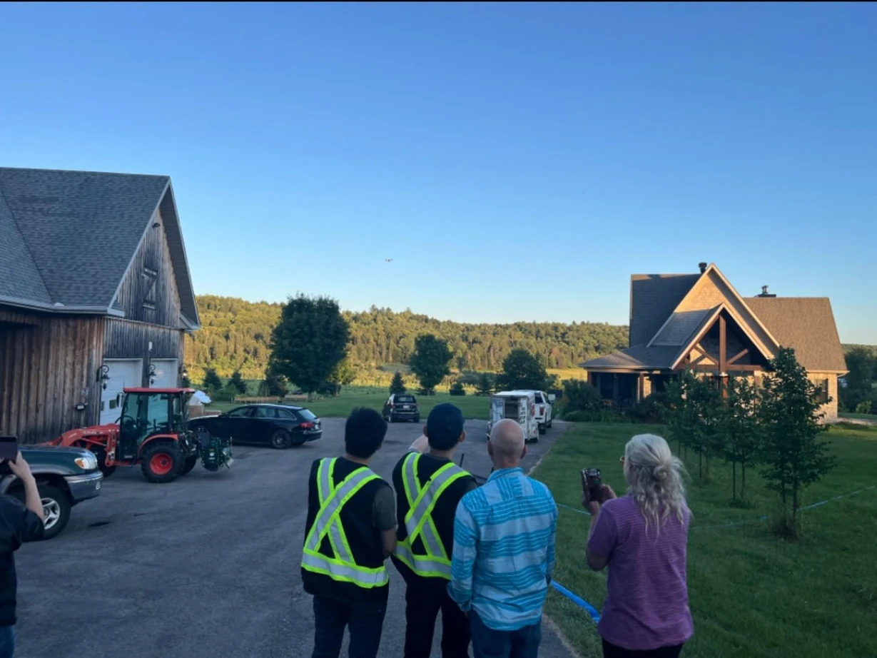
Define the scouting goal
Clarify the crop, field and questions your next scouting visit should answer.
Configure the workflow
Select suitable equipment and software around your existing operation and data needs.
Train the team
Train your team in capture, processing and ground checks; clarify decision responsibilities.
Support ongoing use
Agree ongoing support for equipment, data handling and the next steps you need.
“Real support. Real-world experience. That’s the SpeedyDrone difference.”
Frequently asked questions
Can an index diagnose a deficiency or disease?
An index alone cannot establish that diagnosis. It can identify spatial differences worth investigating. Causes need field observations, sampling where appropriate and agronomic judgment.
Can I compare any two flights?
Check acquisition and processing conditions first. Keep dates, crop stages and light conditions with the results. Two flights alone do not establish a reliable treatment comparison; independently stretched colour scales cannot be read as improvement.
Do I need to buy the complete system?
No fixed bundle is required. Start with stand-alone scouting or integration with your existing operation, then choose the hardware, processing tool and support you need. T50 and T100 do not require multispectral scouting to operate.
Can a map automatically start field work?
No. First confirm the management measure. Then verify the prescription, task format, equipment and implementation conditions. Human judgment and task confirmation remain part of the workflow.
Manufacturer references: Mavic 3M · SmartFarm Web · DJI Terra
Start with the field question you want to answer.
Tell us about your crops, fields and current scouting method. We can discuss the equipment, software and support you need.
Multispectral Crop Scouting
What would you like to understand about your fields?
You do not need to choose an index, software or a complete equipment package. Tell us about your crops, fields and current scouting method.
Approximate location and area are enough to start. No precise farm coordinates are required.
- Receive your brief
- Discuss suitability
- Confirm configuration & scope
- Prepare a quote